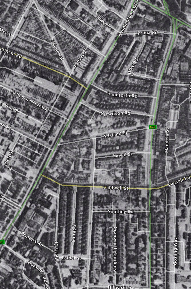
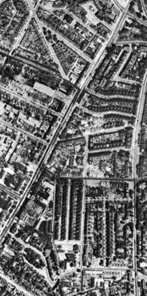
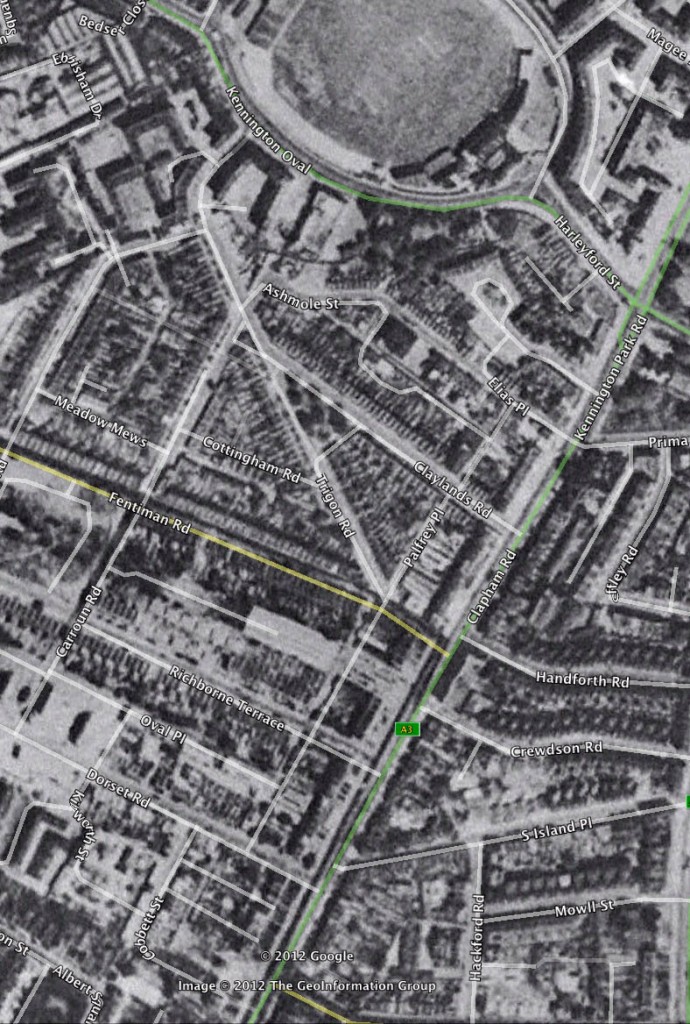
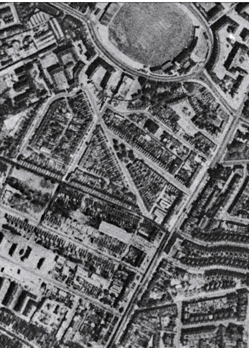
Below you can see various photographs taken just after the war in 1945. There are two versions of the same photograph, one with street names highlighted to help locate yourself, one without street names so that detail is not obscured with text. The photographs are part of a series taken in 1945 and can be seen in full on Google Earth.
If you look closely you can see bomb damage and cleared areas, particularly at the bottom of Cranworth Gardens, Richbourne Terrace and between South Island Place and Crewdson Road.
Copyright owned by The Geoinformation Group 2012. 


Hi my name is Winston Vaughan I am looking for old photos of Chalkhill Estate at Wembley Park past pictures or aerial from the 1940s to 1970s do you have any please?
Kind regards
Hi I’m Sharon Small my family lived in oval way no 12 and 46 this is where mum and dad met mywe are doing a book for my auntie who is now 87 would bo ice to get a picture if the street on that side of the Rd I no its no longer their the house was hit by shracknal when they came back from the council put them in these homes