Trace the evolution of the Oval, Kennington, and North Brixton from 17th-century rural Surrey to a bustling Edwardian suburb.
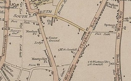
Historical Maps of This Area (1648–1918)
Browse all 13 chronological maps of Oval, Kennington & Brixton
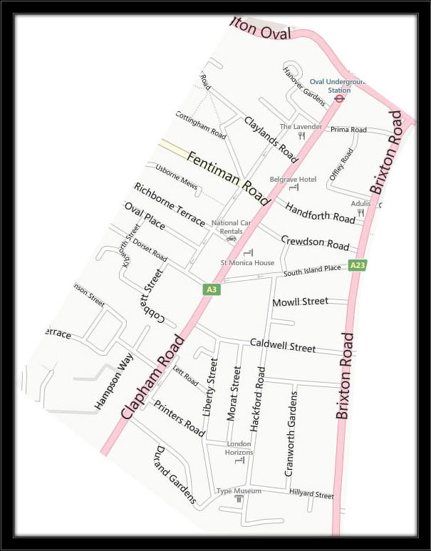
The Area That Oval History Covers
Boundary map showing the streets included in the Oval History project
Chronological Maps (1648 to 1918)
Select any map year below to view the full map extract and historical commentary.
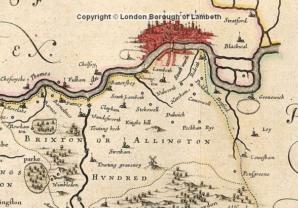
Brixton Hundred Map
Extract from Joan Blaeu’s ‘Surria Vernacule Surrey’

Laurie & Whittle’s New Map of London
Showing Kennington Common, Vauxhall Gardens, and early ribbon development
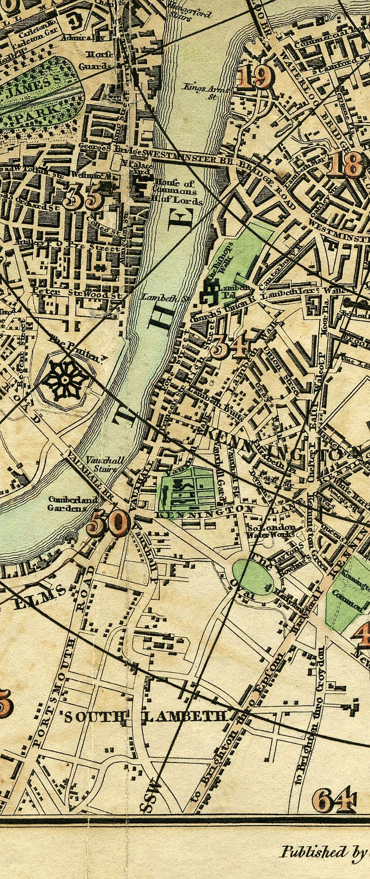
Pigot & Co.’s Miniature Plan of London
Metropolitan Guide plan of South Lambeth, Kennington, and North Brixton

Plan of London & Westminster
Index to the Large Plan in Forty Sheets covering the Oval and Brixton Road
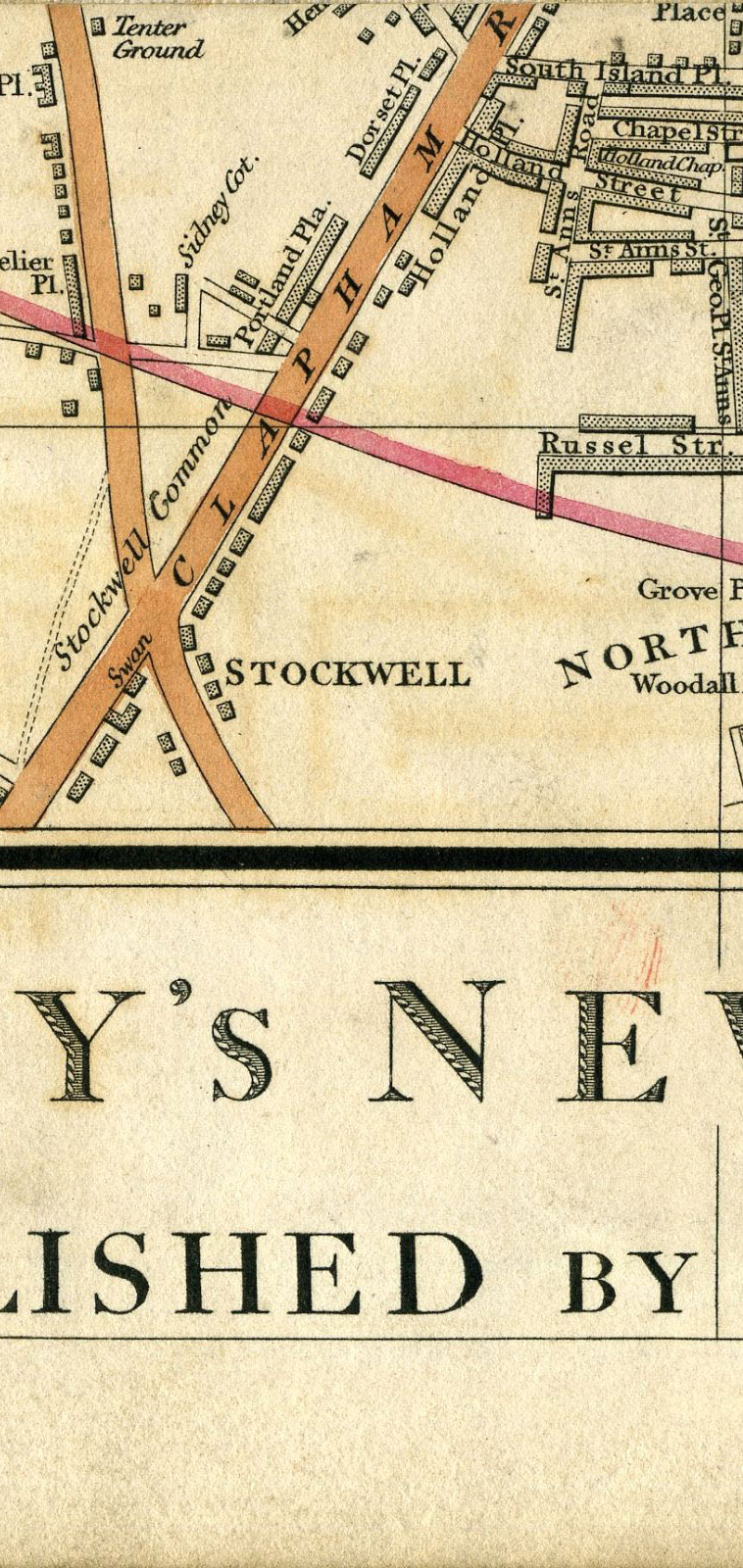
Cary’s New Plan of London & Vicinity
Detailed early Victorian map before the Oval cricket ground was established
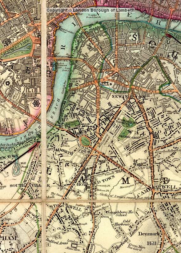
Map of North Lambeth
London and Its Environs showing the market gardens and early streets
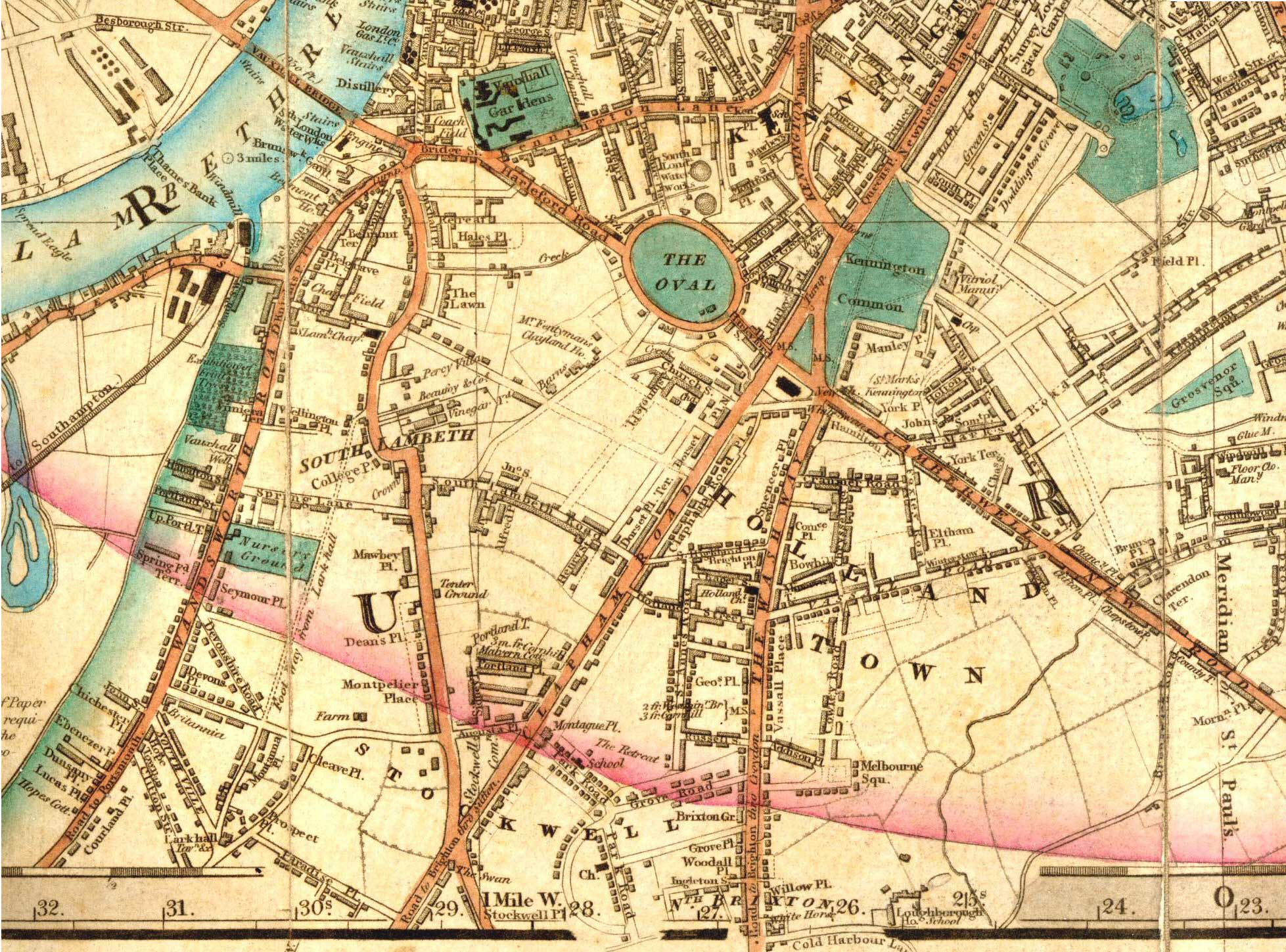
Laurie’s Map of London
Showing ‘The Oval’ market garden just before Surrey County Cricket Club’s arrival
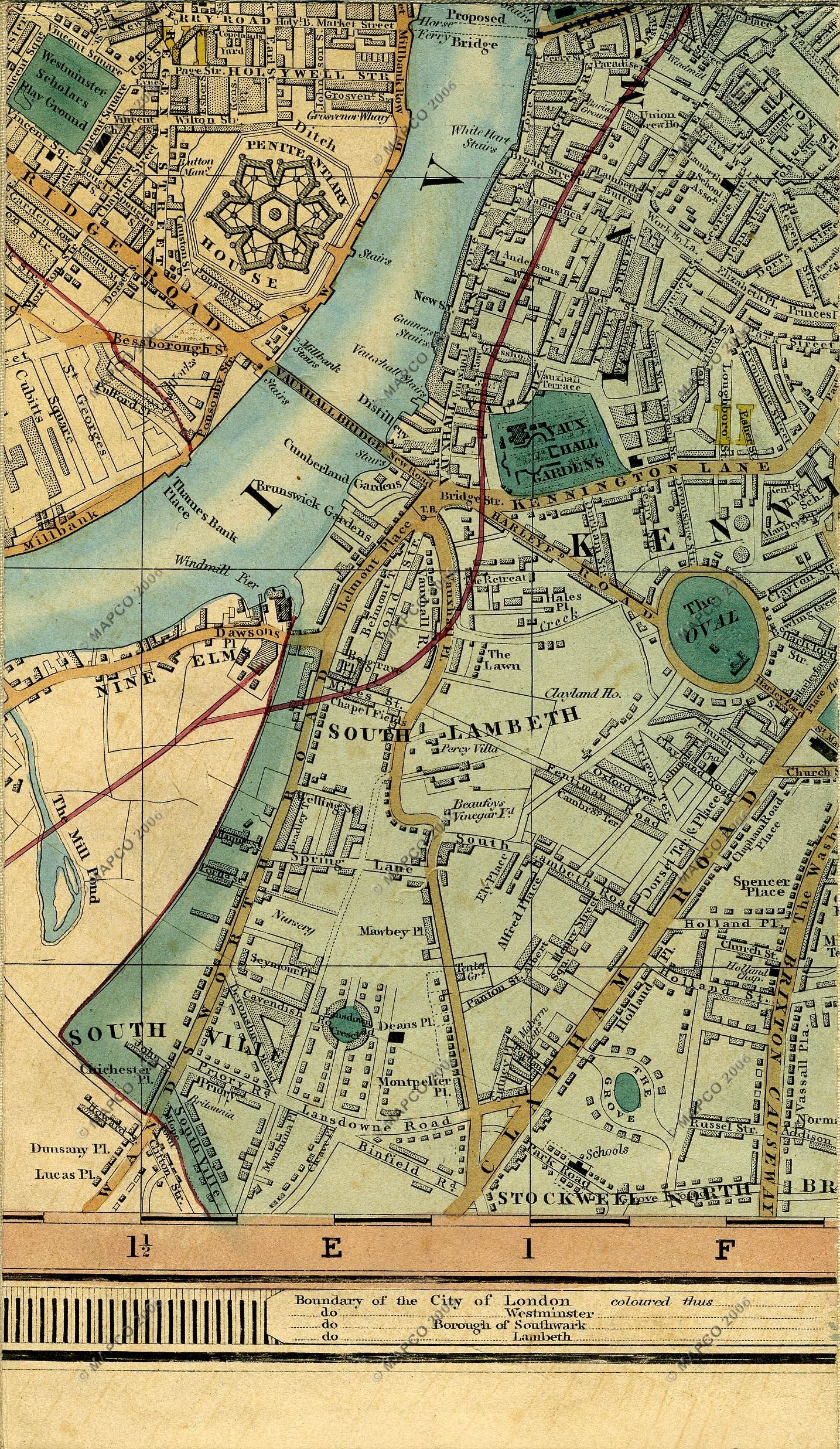
Cross’s New Plan of London
Mid-century street layout along Clapham Road and Brixton Road
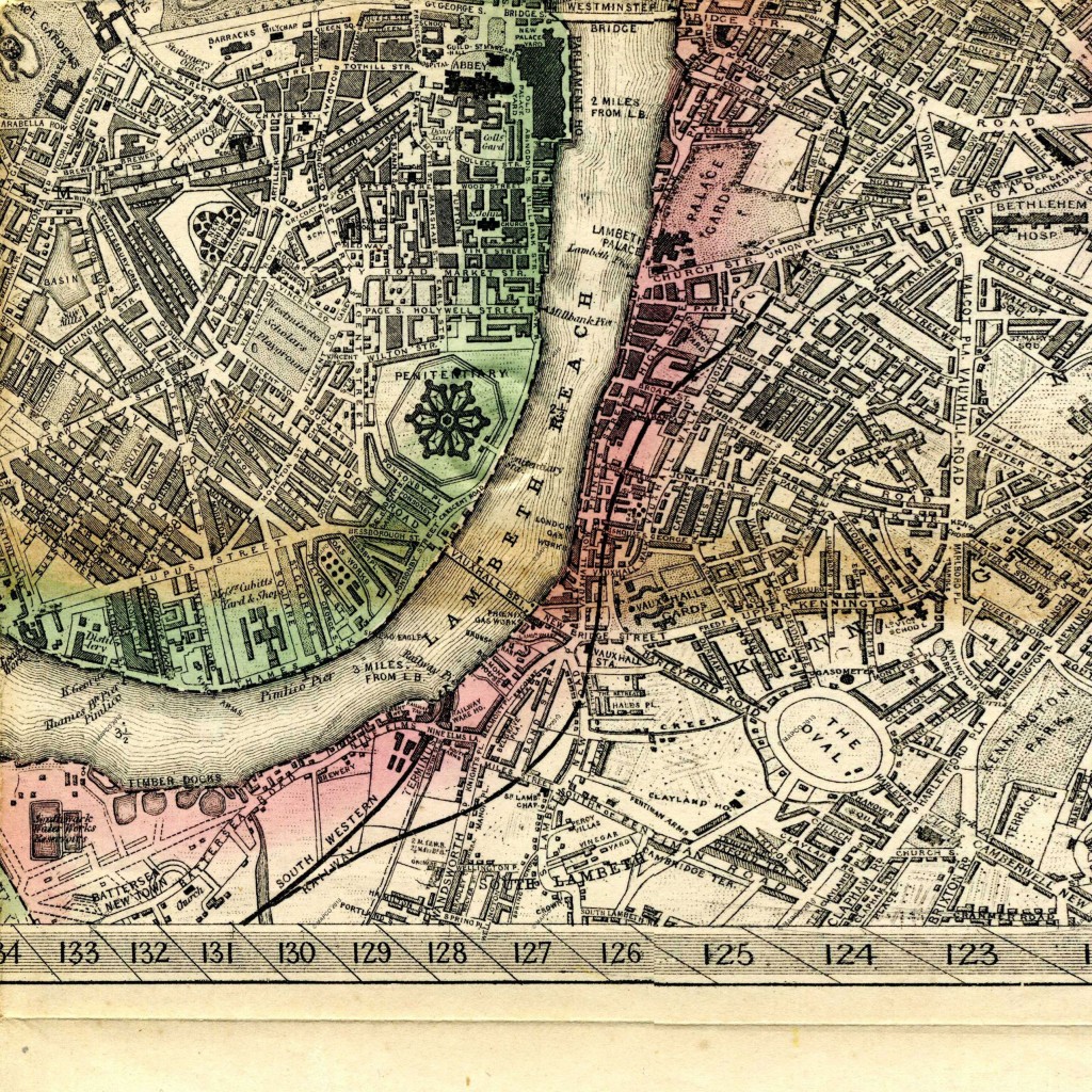
Kelly’s Post Office Directory Map
High-detail Victorian directory map of the Oval & North Brixton
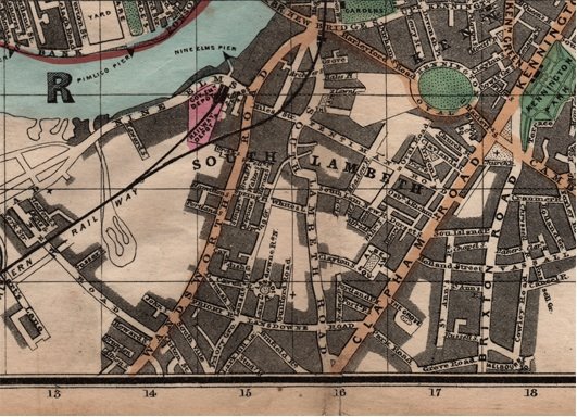
North Lambeth Map
Showing Hackford Road, Holland Street (Caldwell Street), and surrounding estates
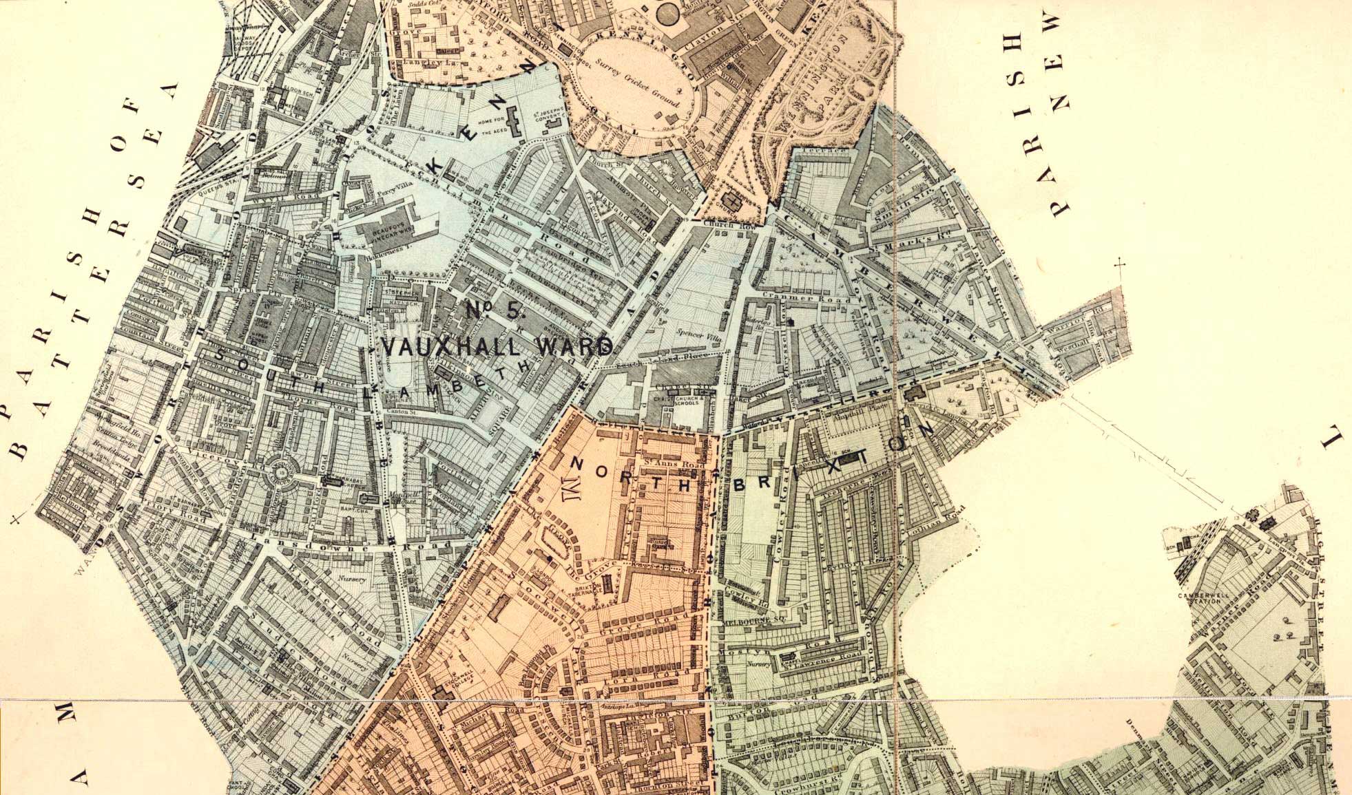
Vauxhall Ward, Lambeth
Detailed parish ward map showing rapid Victorian street building
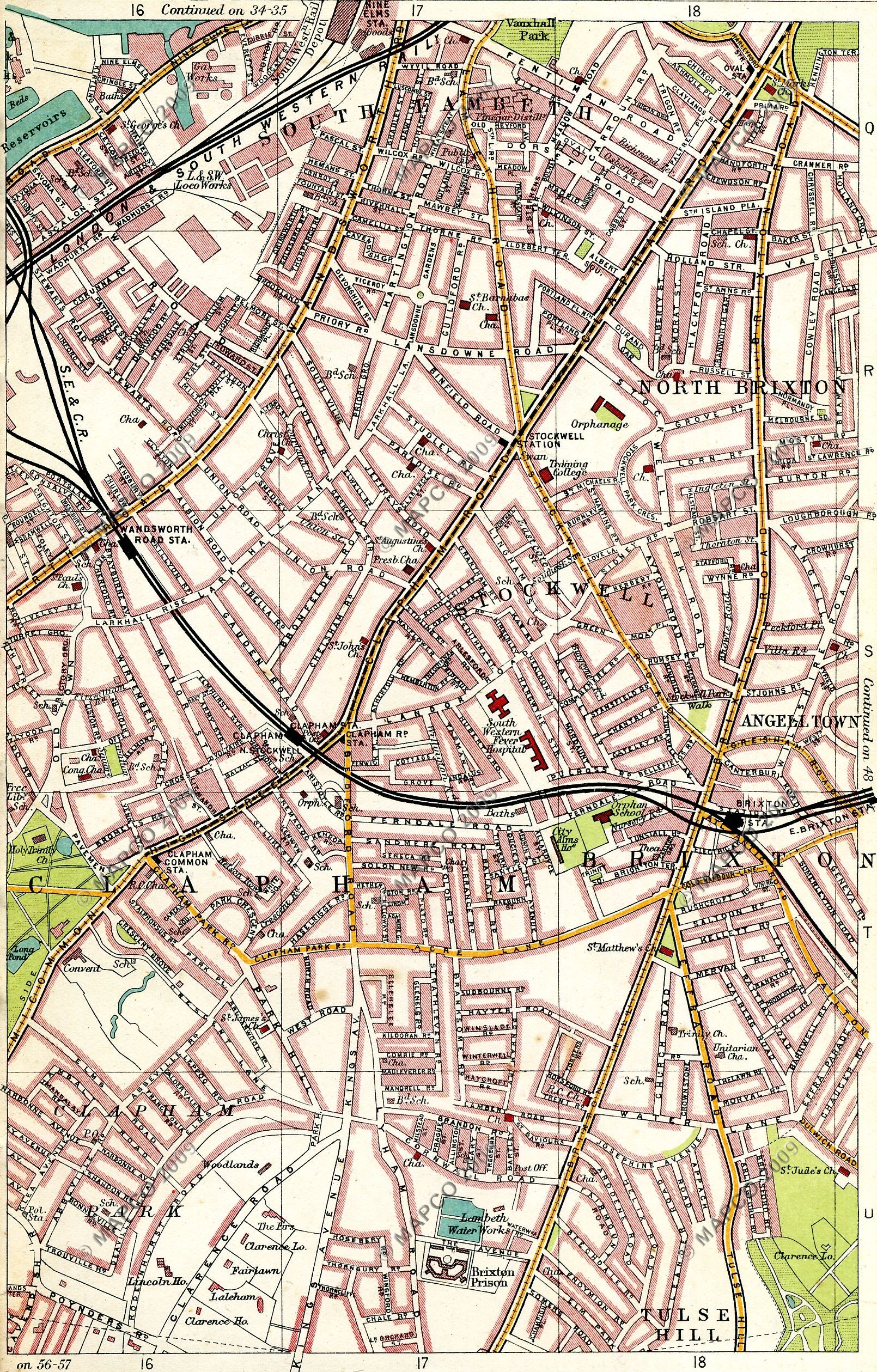
Bartholomew’s Handy Reference Atlas
Edwardian street map showing the completed neighbourhood including Cranworth Gardens
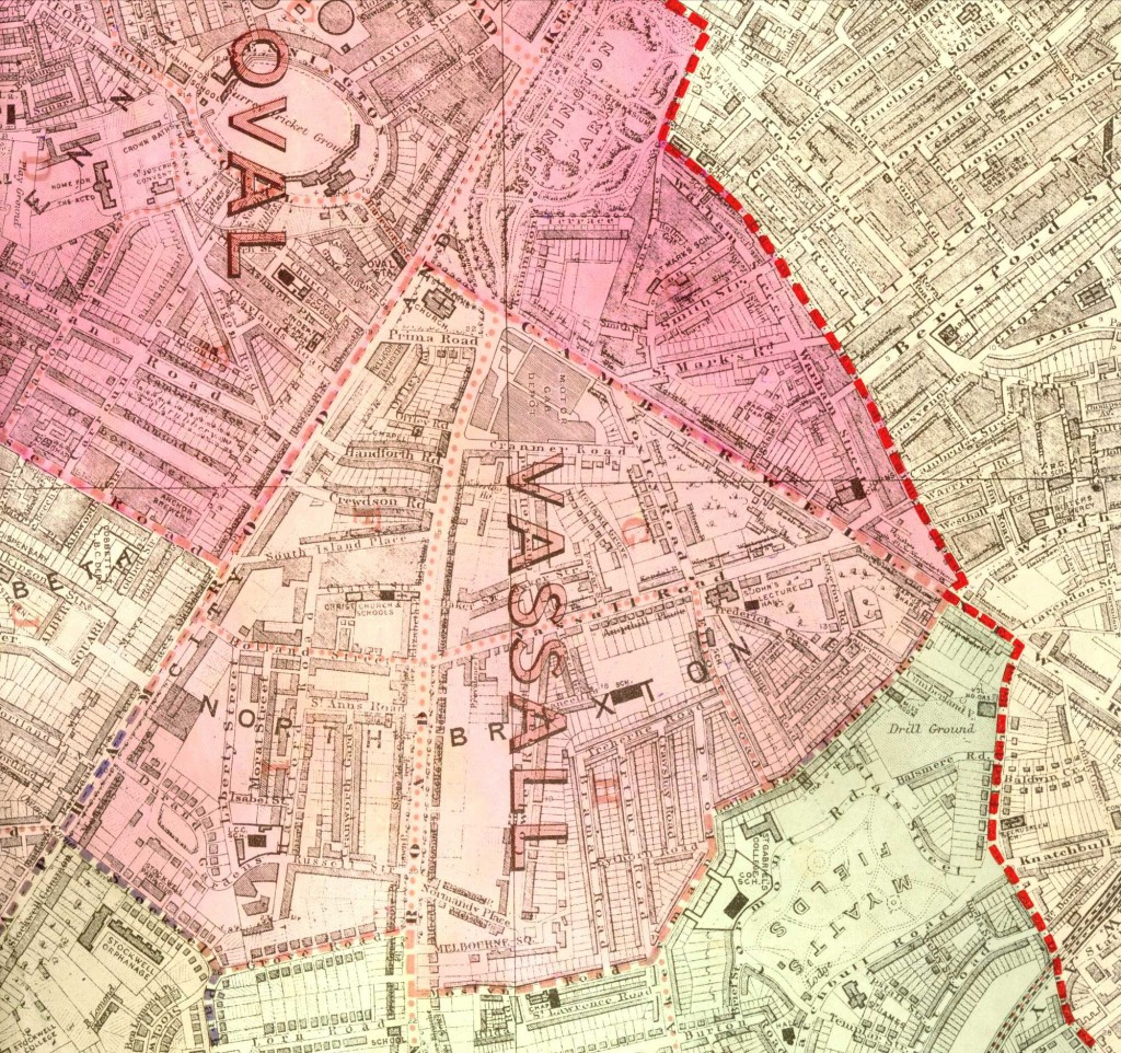
Vassall and Oval Wards, Lambeth
End of WWI ward boundary and street map of Oval and Stockwell