Menu
Home
The History Of Each Street
Cranworth Gardens
Bombing & War
Maps
Photographs
Historical Local Businesses
Our Streets In The News
Local Memories
Site Search
Contact Me
Resources, Sources & Links
OVAL HISTORY
Uncovering the forgotten stories, hidden landmarks & everyday lives of Oval and Stockwell
Skip to content
MENU
MENU
Home
Streets
Cranworth Gardens
Bombing & War
Maps
Photos
Local Businesses
In The News
Memories
Search
Contact
Resources
Home
›
Maps
›
Historical Maps
›
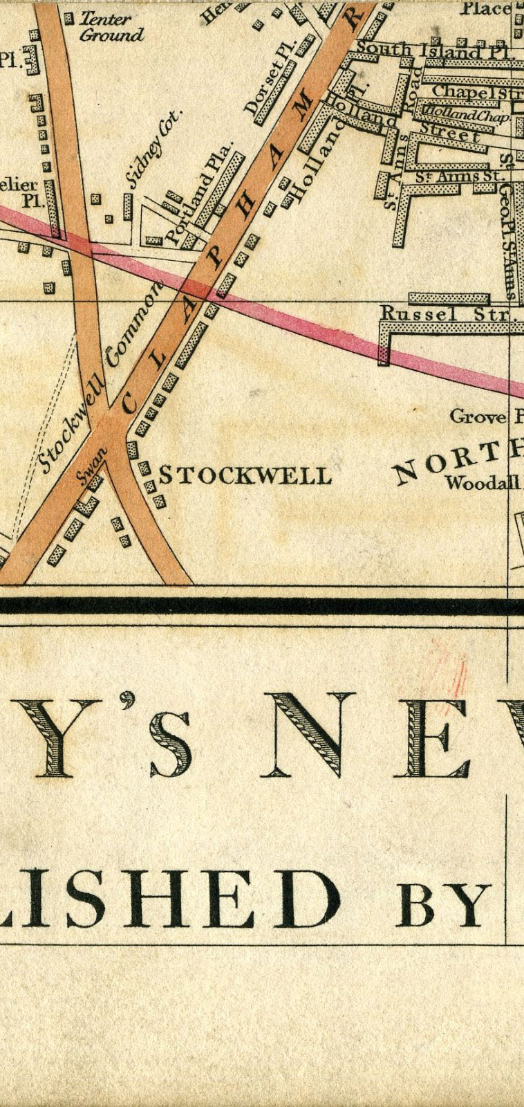
1837 – Cary’s New Plan Of London And Its Vicinity 1837
1837 – Cary’s New Plan Of London And Its Vicinity 1837
← Previous
1836 – Plan of London and Westminster with the Borough of Southwark being an index to the large plan in forty sheets
↑ Section Index
Historical maps of this area
Next →
1840 – London and Its Environs, Map of North Lambeth
Leave a Reply
Your email address will not be published.
Required fields are marked
*
Comment
*
Name
Email
Website